
EmDigIt stands for Early Modern Digital Itineraries.
An itinerary describes one or more routes provided in the form of a list. The earliest itineraries date back to antiquity, but by the early modern period, small, cheaply published itinerary books written by professional travelers indicated precisely which routes to utilize, where to stay, which sites to see, and even provided tools for navigating foreign customs, language, and currency.
 |
|---|
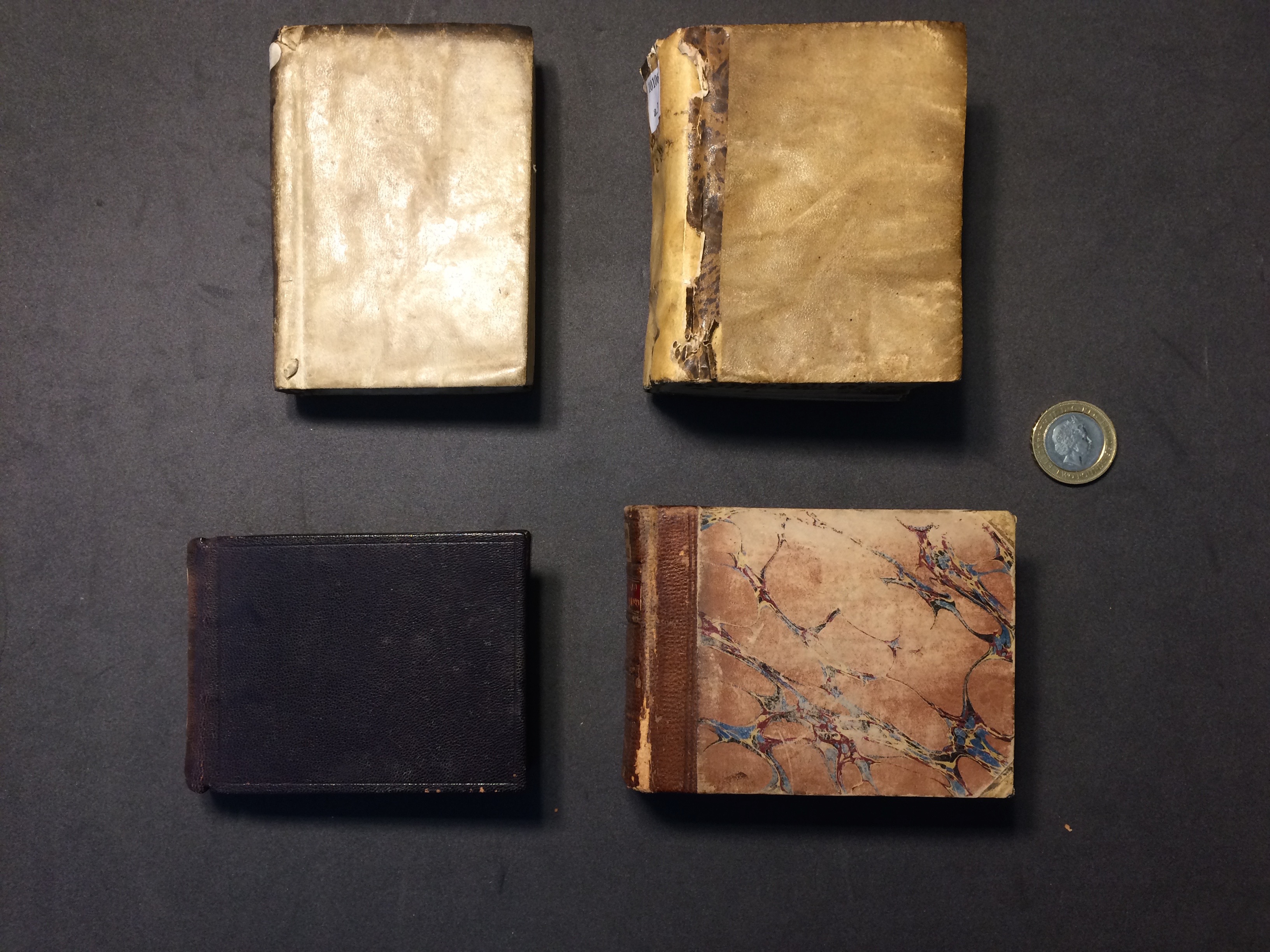
| Four copies of itinerary books by Ottavio Codogno held in the British Library, shown with a two pound coin for scale |
 |
|---|
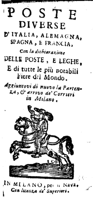
| The frontispiece from one of the earliest printed itinerary books, the anonymous Poste diverse d’Italia, Alemagna, Spagna, e Francia (Milan: 1550) |
 |
|---|
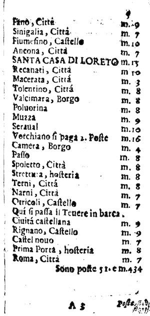
| An example page from the same. Locations and instructions are listed in sequence on the left, while on the right the author indicates the distance. |
EmDigit began during project director Rachel Midura’s time as a digital humanities research fellow at the Stanford Center for Spatial and Textual Analysis. Midura assembled a bibliography of itineraries and a database of route headers that could be found across itinerary books printed in many different languages and countries. The initial EmDigIt data consisted of only route headers from the itineraries, such as “From Rome to Madrid via Milan.” While well-suited for network analysis, which Midura demonstrated in a related article, this data does not include the intermediary stops on a route, nor the ample detail on sites of hospitality, pilgrimage, trade or political conflict.
 |
|---|
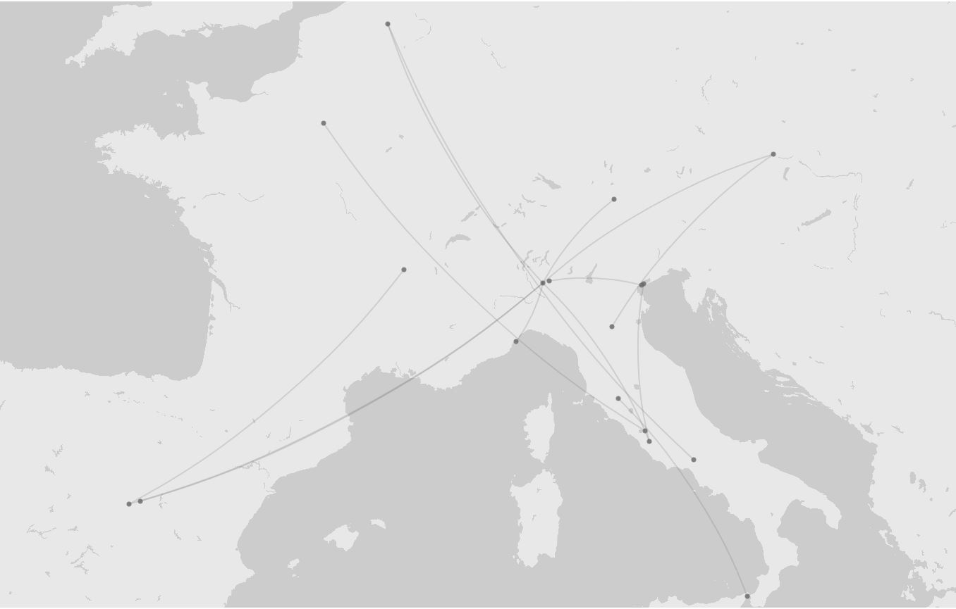
| A map made in Palladio shows the routes within Poste diverse (1550) as point-to-point connections of origin and destination, as noted in route headers. While useful for thinking about overall connectivity, such visualizations can give a false impression of modern flight paths as opposed to on-the-ground journeys |
Midura has since been a part of a number of small-scale collaborations to automatically extract and tidy the semi-structured data from PDF digitizations of the itinerary books. She has worked with Virginia Tech student research assistants and the Transkribus handwritten text recognition software. Through a combination of hand curation and processing in custom Python notebooks, it is possible to fully visualize the rich spatial detail of the itinerary books for the first time.
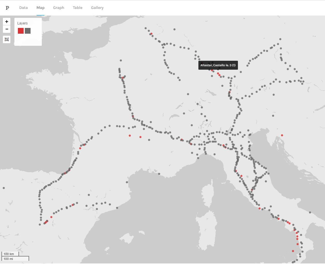 |
|---|
| This map also shows Poste diverse (1550), except it now includes the detailed waystations included by the author. The grey points represent locations that have been georeconciled with a modern authority link and coordinates. Using clues such as provided distances and calculated bearings, it is even possible to approximate the location of unreconcilable references (shown in red) |
 |
|---|
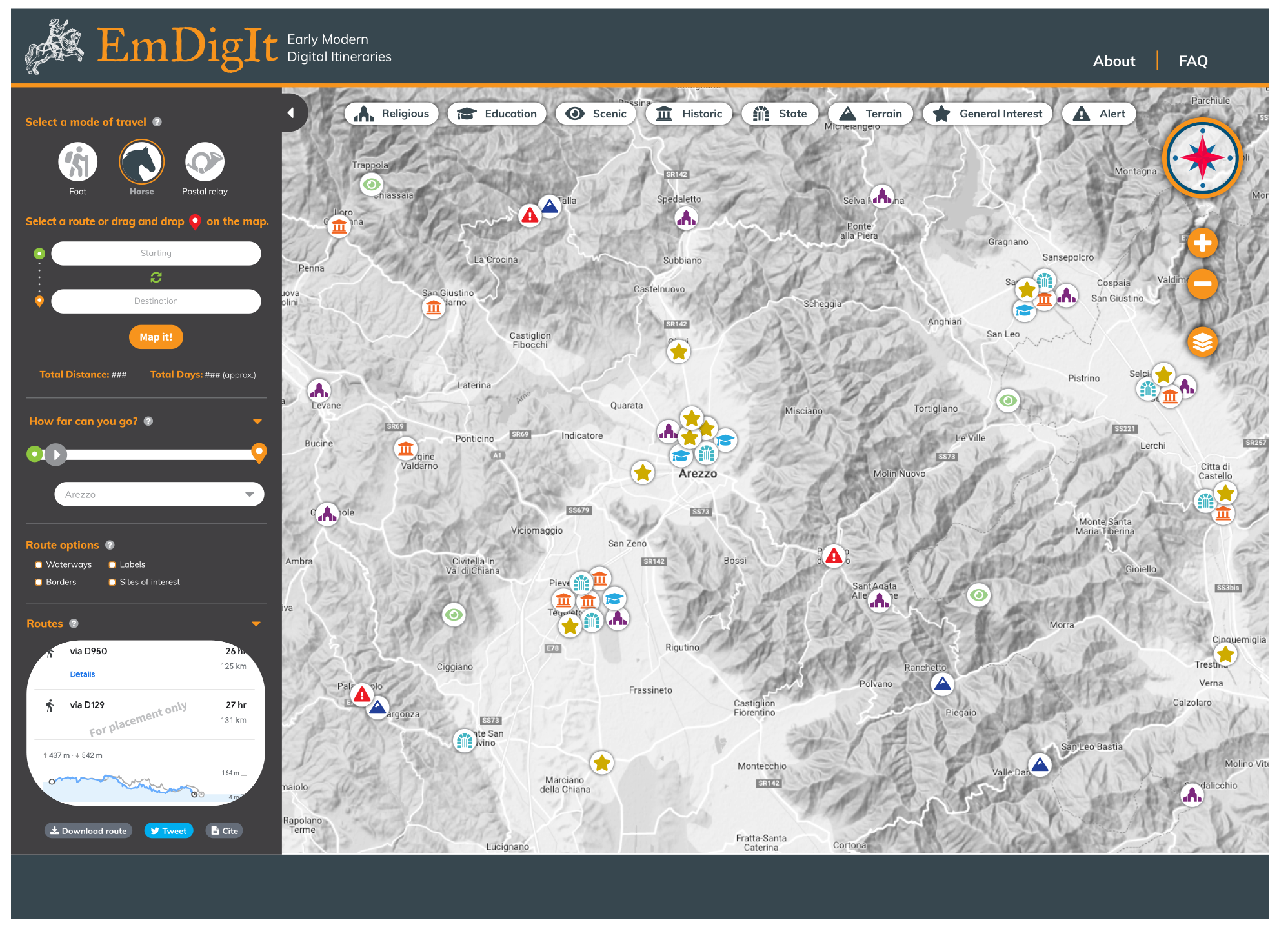
| The envisioned EmDigIt web platform would allow users to “map” journeys based on published itineraries and calculate travel elevations, times, and cost depending on mode. Users can also see points of interest noted by the original itinerary authors, such as where border agents were active in collecting customs payments, or historic landmarks were visible to the interested tourist. |
In Spring 2023, EmDigIt received support from a Virginia Tech Digital Humanities Library Collaboration Grant to refine a project workflow and create wireframes for an eventual web-based platform. Midura and Data Visualization Designer Michael Stamper produced a number of proofs-of-concept that envision the future of EmDigIt was a web platform and tool.
In August 2023, EmDigIt received a Digital Humanities Advancement Grant from the Office of Digital Humanities of the National Endowment for the Humanities to support a series of workshops in Spring and Summer 2024. See here for more.
Any views, findings, conclusions, or recommendations expressed in this website do not necessarily represent those of the National Endowment for the Humanities.